

Oregon Department of Fish and Wildlife will be releasing the same technology it offers for hunters this week.
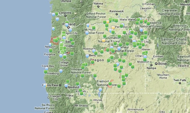
Sometime this week, the Oregon Department of Fish and Wildlife will post an interactive Google Earth map of its northwest region, roughly north of a line between Cottage Grove and Reedsport and west from the Cascades to the coast.
Unmistakable blue icons (fish head and hook and line) will show the locations of 110 seasonally stocked fish sites,complete with descriptions and locations where 1.2 million trout are stocked annually.
The interactive map eliminates the need to wade through the department’s fish stocking schedules to find directions, and provides an instant display of fishing sites near you.